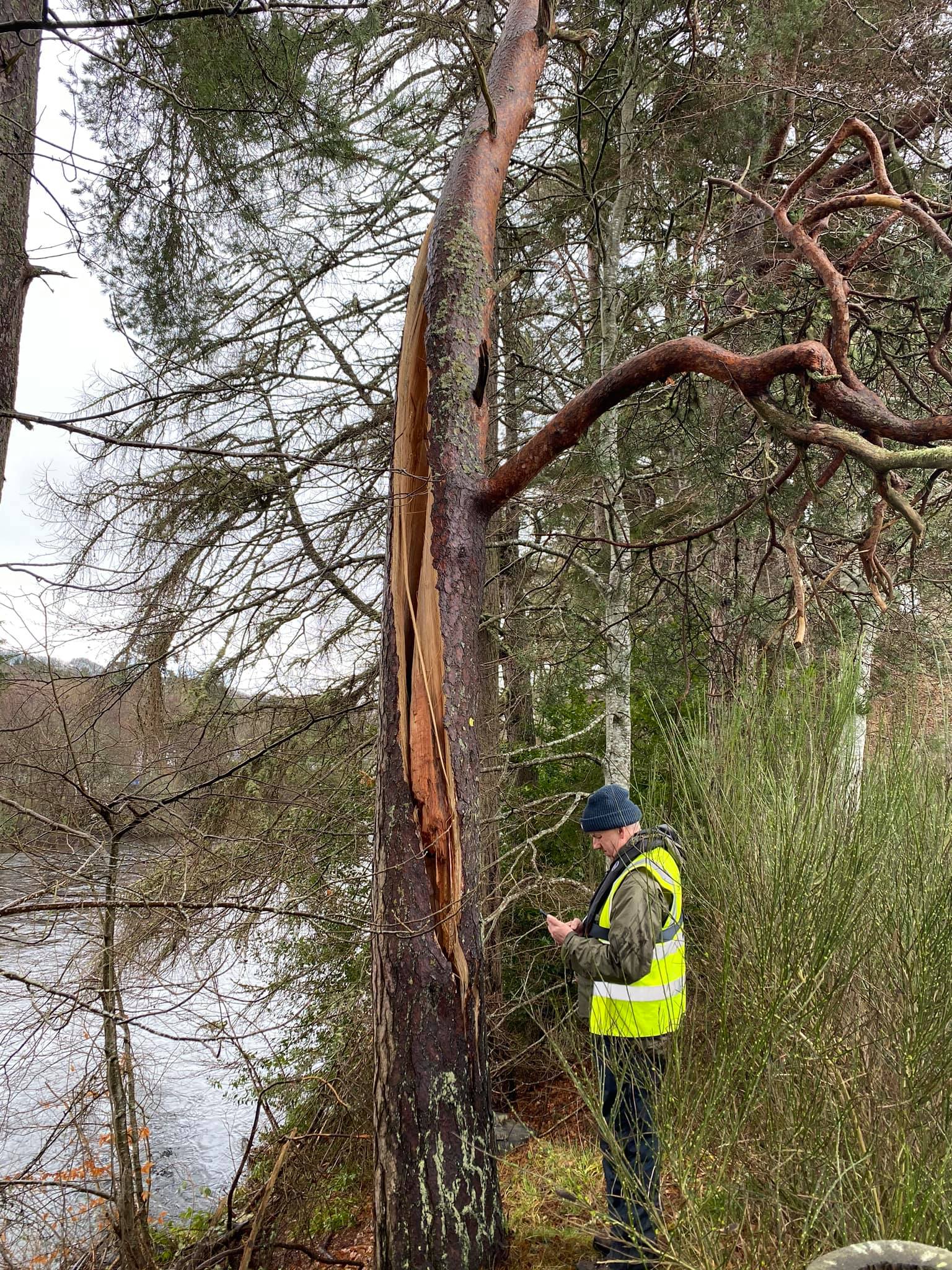
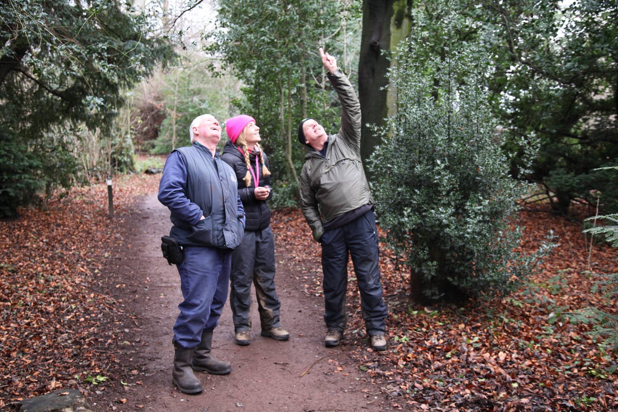
Tree Surveys
- Including Arboricultural Impact Assessments, Tree Constraints Plans and Tree Protection
Plans
- Arboricultural Method Statements and onsite supervision
- Tree surveys to include future management recommendations and detailed report of any
tree work required
- Statutory constraints advice and tree work applications with regards to Tree Preservation
Orders and trees situated within Conservation Areas
- Tree pest and disease diagnosis with management recommendations
- Advanced decay detection – PiCUS Sonic Tomograph and increment core analysis
- Management of any associated tree work
- Mortgage application surveys
- Aerial drone surveys and photography
Woodland Management
- Woodland and Forestry advice
- Invasive Species identification and control
- Woodland project management
- Felling License Applications
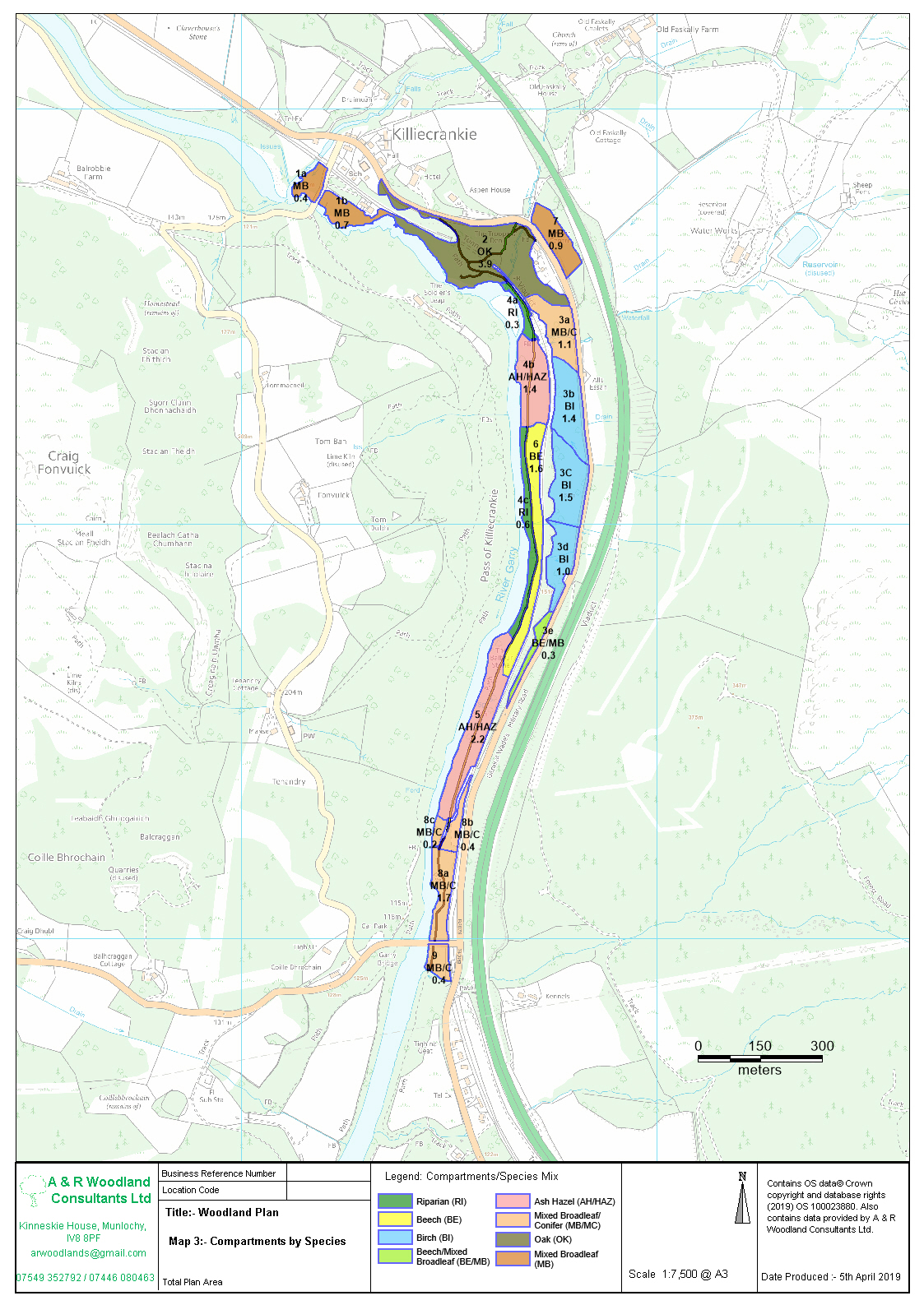
Digital Mapping Service
- Data gathered using the latest GIS software
- Production of digital maps
- Maps can include themes e.g. to convey species mix, individual tree re-inspection
frequencies, felling areas and woodland compartments
- Maps for Forest Grant applications.
- Digital maps for Planning Applications to BS:5837 standard to include Tree Constraints Plans
and Tree Protection Plans
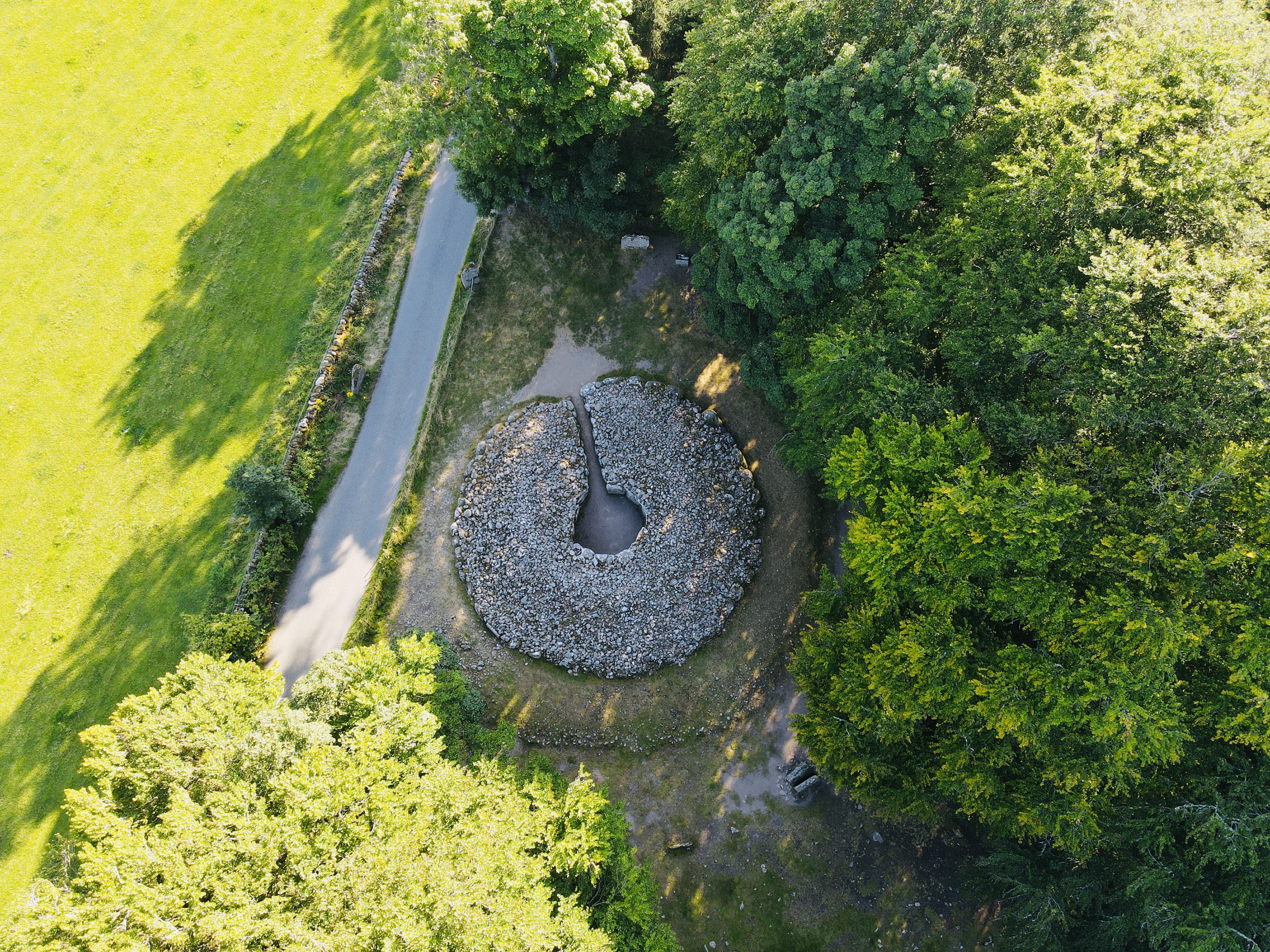
Drone Services
- Aerial imagery in hard to inspect areas - safer and cheaper surveying without putting the surveyor in dangerous or inaccessible locations
- Providing accurate tree counts
- Aerial inspection as an extension to level 2 VTA tree inspections
- Assessment of plant health and damage in relation to tree health pests and disease
- identification and monitoring of invasive species
- Forest acquisition surveys and promotional filming - for prospective buyers and agents
- Site vegetation and species mapping